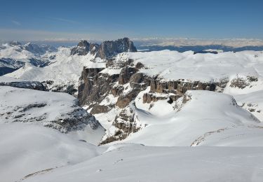
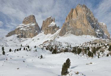
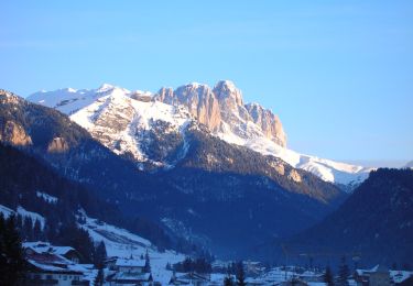
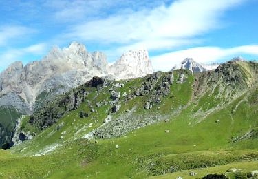
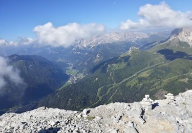
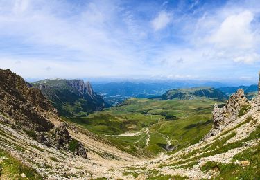
13,2 km | 20 km-effort
w-italie-wandelen-in-italie
gpstracks
Gebruiker
Lengte
14,4 km
Max. hoogte
2454 m
Positief hoogteverschil
1134 m
Km-Effort
30 km
Min. hoogte
1501 m
Negatief hoogteverschil
1155 m
Boucle
Ja
Datum van aanmaak :
2014-12-10 00:00:00.0
Laatste wijziging :
2014-12-10 00:00:00.0
--
Moeilijkheid : Onbekend
Gratisgps-wandelapplicatie
Over ons
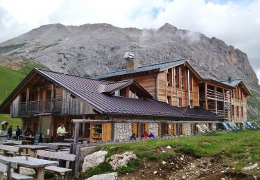
Tocht Stappen van 14,4 km beschikbaar op Trento-Zuid-Tirol, Provincia di Trento, Campitello di Fassa. Deze tocht wordt voorgesteld door gpstracks.
Beschrijving
More information on GPStracks.nl : http://www.gpstracks.nl
Plaatsbepaling
Land:
Italy
Regio :
Trento-Zuid-Tirol
Departement/Provincie :
Provincia di Trento
Gemeente :
Campitello di Fassa
Locatie:
Unknown
Vertrek:(Dec)
Vertrek:(UTM)
710861 ; 5150958 (32T) N.
Opmerkingen
Wandeltochten in de omgeving
(SI C20N) Rifugio Sasso Piatto - Selva di Val Gardena
Te voet
Medium
Kastelruth - Castelrotto,
Trento-Zuid-Tirol,
Bolzano - Bozen,
Italy
4h 37min
Neen
IT-E647
Te voet
Gemakkelijk
Canazei,
Trento-Zuid-Tirol,
Provincia di Trento,
Italy
6,2 km | 16,9 km-effort
3h 50min
Neen
IT-E655
Te voet
Gemakkelijk
Canazei,
Trento-Zuid-Tirol,
Provincia di Trento,
Italy
6,2 km | 13,7 km-effort
3h 6min
Neen
IT-E645
Te voet
Gemakkelijk
Canazei,
Trento-Zuid-Tirol,
Provincia di Trento,
Italy
6,3 km | 11,4 km-effort
2h 35min
Neen
IT-E644
Te voet
Medium
San Giovanni di Fassa,
Trento-Zuid-Tirol,
Provincia di Trento,
Italy
13,6 km | 28 km-effort
6h 16min
Neen
IT-E643
Te voet
Gemakkelijk
San Giovanni di Fassa,
Trento-Zuid-Tirol,
Provincia di Trento,
Italy
4,7 km | 8,5 km-effort
1h 55min
Neen
IT-E530
Te voet
Gemakkelijk
Campitello di Fassa,
Trento-Zuid-Tirol,
Provincia di Trento,
Italy
4,2 km | 7,4 km-effort
1h 40min
Neen
IT-E529
Te voet
Gemakkelijk
Campitello di Fassa,
Trento-Zuid-Tirol,
Provincia di Trento,
Italy
4,4 km | 7,6 km-effort
1h 43min
Neen
IT-E594
Te voet
Gemakkelijk
Campitello di Fassa,
Trento-Zuid-Tirol,
Provincia di Trento,
Italy
6,5 km | 10,8 km-effort
2h 26min
Neen